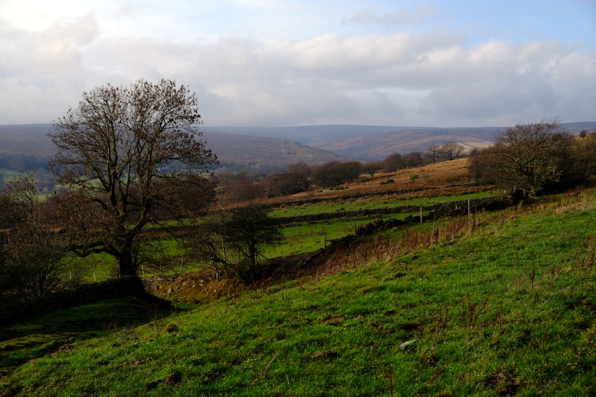
Ewden Valley from Hunger Hill, Heads Lane, Bolsterstone, South Yorkshire
Date: Saturday, 6th April 2024
Start time: 10:30
Grade: Moderate
Distance: 7.5 miles
Walk description
Leaving our meeting point, we walk along Heads Lane to the Trig Point to take in some of the panoramic views. Retracing our steps for a couple of hundred yards we then descend down towards Ewden Beck (note: this section is overgrown and muddy in places) where we follow the course of the river through the woods. We skirt the shoreline of Broomhead and More Hall Reservoirs before commencing the steep climb back up to the ridge line. From here we follow the path back towards Bolsterstone village.
Meeting point and parking
Meeting point: The Castle Inn, Heads Lane, Bolsterstone, South Yorkshire.
Parking: On-road parking near The Castle Inn or adjacent to the public toilets on Stone Moor Road, around the corner from The Castle Inn.
GPS Coordinates: 53.4676132, -1.5930176
Grid Reference: SK 27091 96851
What3Words: speeding.apples.menswear
Nearest Postcode: S36 3ZB
Joining Us
If you wish to attend your first walk with Sheffield Walkers walking group please contact us a minimum 48 hours before the start of your chosen walk and we will add you to our list of walkers, notify the Walk Leader to expect you, and provide you with details of the meeting point and start time.
Please note: New walkers can join any easy or moderate walk for their first walk with us, but not a strenuous walk. Once they have walked with us all walks are open for them to join. For further information regarding membership please click here.