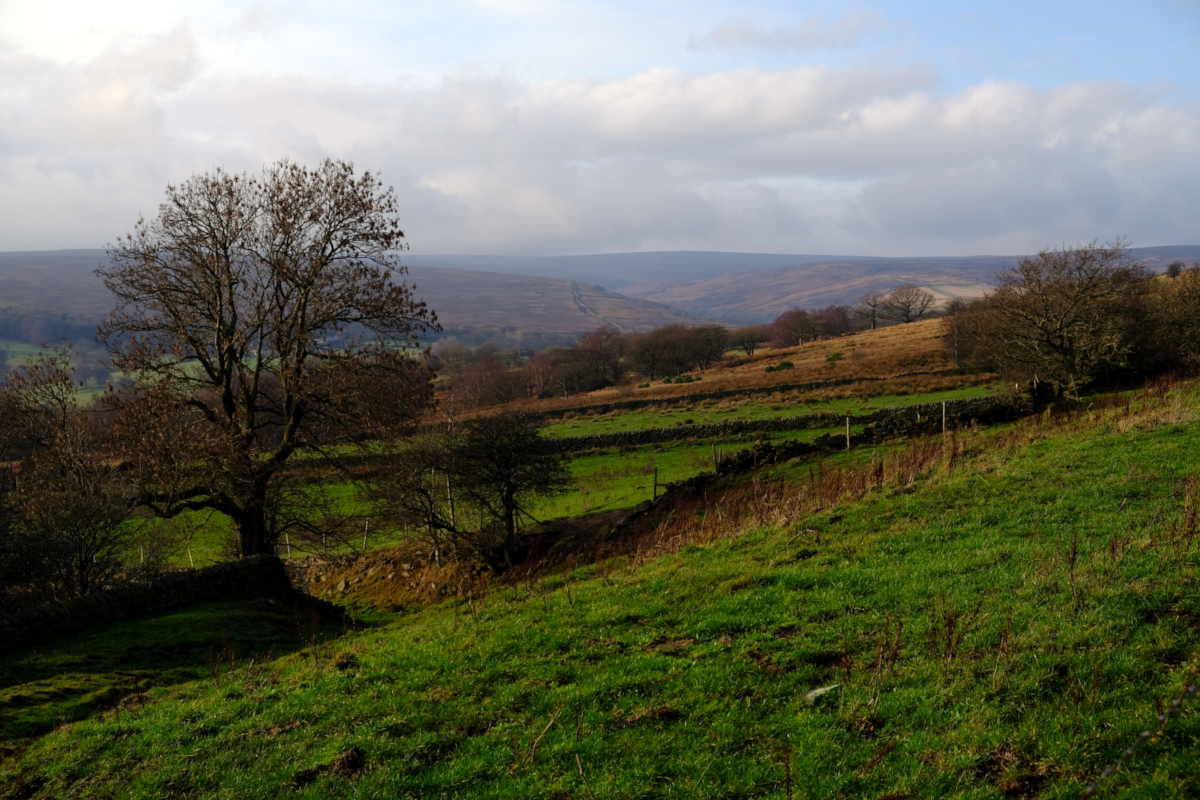
Ewden Valley from Hunger Hill, Heads Lane, Bolsterstone, South Yorkshire
Date: Saturday, 31st December 2022
Start time: 10:30
Grade: Moderate
Distance: 6.5 miles
Walk description
This walk starts by following a flat trail through woods along the old Langsett railway before following tracks beside Underbank Reservoir. We cross the dam wall, before gradually ascending for 1.5 miles along farm tracks and moorland to Whitwell Moor. From here there are extensive views towards the Derbyshire Moors and South Yorkshire.
After lunch, the return walk is downhill as we go through a wooded area before descending along narrow paths, via Wind Hill Knoll for some lovely views of the upper Don Valley. For a short walk it has a good variety of landscape.
Meeting point and parking
Meeting point: S36 4GW : Ye Olde Mustard Pot (top of car park), Chapel Lane, Midhopestones, South Yorkshire
GPS Coordinates: 53.4923351, -1.6451168
Joining Us
If you wish to attend your first walk with Sheffield Walkers walking group please contact us a minimum 48 hours before the start of your chosen walk and we will add you to our list of walkers, notify the Walk Leader to expect you, and provide you with details of the meeting point and start time.
Please note: New walkers can join any easy or moderate walk for their first walk with us, but not a strenuous walk. Once they have walked with us all walks are open for them to join. For further information regarding membership please click here.