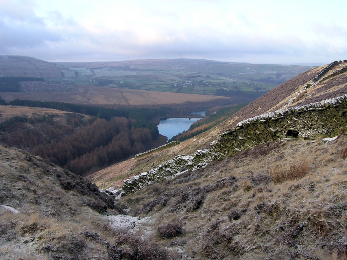
Upper Holme Valley from Ramsden Edge, Holmfirth, West Yorkshire
Date: Sunday, 17th November 2019
Start time: 10:00
Grade: Strenuous
Distance: 10.5 miles
Walk description
Starting from the soon to be re-opened pub (formerly the Bay Horse and Algy Arms) at Hade Edge we descend to Holme Styes Reservoir, cross the River Ribble and ascend to Cartworth Moor. We descend through the hamlet of Malkin House to reach a bridge crossing the River Holme. We pass by Bottoms Mill, cross Woodhead Road where we follow a lane to Liphill Bank.
From Liphill Bank we have a short but steep climb to the hamlets of Booth House and Hogley Green, then follow paths to the hamlets of Carr Green and Austonley before a steep descent to Holmbridge. Leaving Holmbridge we once again cross Woodhead Road and climb to Crow Hill where we join Ramsden Road (a track). Leaving Ramsden Road we enter access land at Peat Pit Moss and follow Ramsden Edge to Snailsden Reservoir and Cook’s Study Hill. We have little more road walking before joining a track to Long Ing eventually returning to Hade Edge.
Meeting point and parking
Meeting point: HD9 2DZ : Car Park, Dunford Road, Hade Edge, West Yorkshire
GPS Coordinates: 53.5492834, -1.7804718
Joining Us
If you wish to attend your first walk with Sheffield Walkers walking group please contact us a minimum 48 hours before the start of your chosen walk and we will add you to our list of walkers, notify the Walk Leader to expect you, and provide you with details of the meeting point and start time.
Please note: New walkers can join any easy or moderate walk for their first walk with us, but not a strenuous walk. Once they have walked with us all walks are open for them to join. For further information regarding membership please click here.