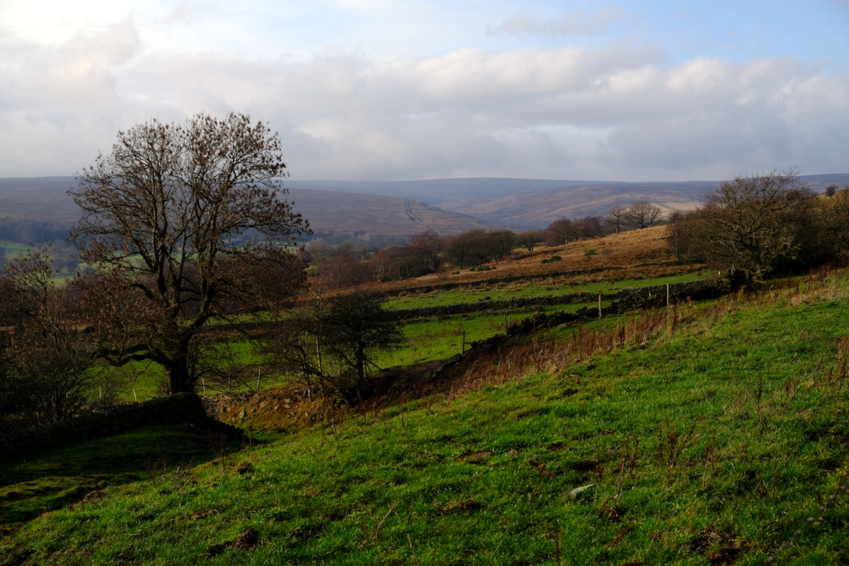
Ewden Valley from Hunger Hill, Heads Lane, Bolsterstone, South Yorkshire
Date: Thursday, 15th August 2019
Start time: 19:00
Grade: Easy / Moderate
Distance: 4.5 miles
Walk description
Please note: This is an evening walk.
The walk starts in Bolsterstone, where we complete a circuit for views of the Ewden Valley and towards Sheffield. After passing Cote House, the path passes close to Walders Low (Burial Mound or Victorian Stone Marker?). The route crosses a few stiles, before we follow Heads Lane to Hungerhill, then gradually upwards to Whitwell Moor trig point, for extensive 360 degree views. The return to the Castle Inn in Bolsterstone follows a similar route, gradually downhill, for what is a scenic short walk.
This is a walk 4.25 miles and will take about 2 hours.
Meeting point and parking
Meeting point: S36 3ZB : Church of Saint Mary, Bolsterstone, Sheffield, South Yorkshire
GPS Coordinates: 53.4674089, -1.5932751
Joining Us
If you wish to attend your first walk with Sheffield Walkers walking group please contact us a minimum 48 hours before the start of your chosen walk and we will add you to our list of walkers, notify the Walk Leader to expect you, and provide you with details of the meeting point and start time.
Please note: New walkers can join any easy or moderate walk for their first walk with us, but not a strenuous walk. Once they have walked with us all walks are open for them to join. For further information regarding membership please click here.