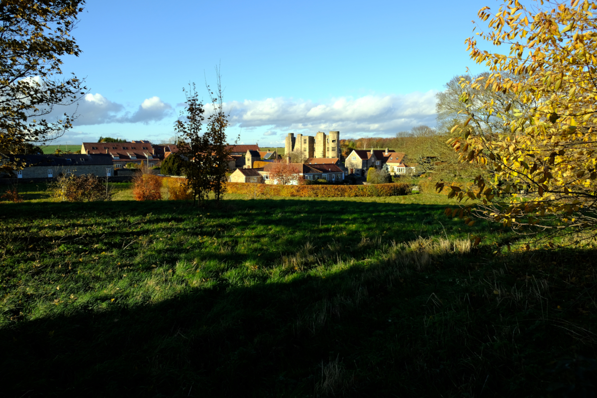
Thorpe Hall, Thorpe Salvin, South Yorkshire
Date: Sunday, 11th November 2018
Start time: 10:00
Grade: Moderate
Distance: 9.0 miles
Walk description
After a short distance we take a footpath down to the Chesterfield Canal. We follow the canal east towards Worksop. The Canal has a very interesting past; it was opened in 1777 and ran 46 miles (74 km) from the River Trent at West Stockwith, Nottinghamshire, to Chesterfield for a cost at £94,908 17s. It is currently only navigable as far as Kiveton Park. In 1840 some 500,000 cubic feet of limestone were dug up in North Anston and carted off to London via the Chesterfield Canal, where it was used to build the Houses of Parliament – The Palace of Westminster.
On one of the islands at the locks at Turnerwood Bridge, the foundations of a house can be seen – this was the Lockkeeper’s house but history has it that the keeper’s small son was drowned in the canal and so he was moved away and the house demolished.
We continue along the towpath until reaching the district of Shireoaks where we say goodbye to the canal and take a footpath in a south-west direction towards the ‘Old Shireoaks Hall’ – originally Shireoaks Manor or Grange, which belonged to Worksop Priory. During the dissolution of monasteries by Henry VIII, Worksop Priory was taken into crown ownership. Later owners were the first of a long line of the Hewett family and an adjacent pub & restaurant is named the Hewett Arms. The hall is now slowly undertaking a sympathetic restoration.
From here we take footpaths across farmland until reaching Dumb Hall Lane and here we will see a fine thriving young oak tree which occupies the site of an original oak from which Shireoaks derives its name – the ancient oak stood for many centuries on the spot where the three counties of Nottingham, York and Derby converge. There is a small plaque by the side of the oak in recognition.
We now walk along the lane until reaching Top Hall where we again follow footpaths across farmland towards Loscar Wood and eventually back into Thorpe Salvin village.
A 9 miles walk from Thorpe Salvin passing the ruins of Thorp Manor or Hall, believed to have been abandoned around 1400.
Meeting point and parking
Meeting point: S80 3JW : The Parish Oven Car Park, Thorpe Salvin, South Yorkshire
GPS Coordinates: 53.324209, -1.2175083
Joining Us
If you wish to attend your first walk with Sheffield Walkers walking group please contact us a minimum 48 hours before the start of your chosen walk and we will add you to our list of walkers, notify the Walk Leader to expect you, and provide you with details of the meeting point and start time.
Please note: New walkers can join any easy or moderate walk for their first walk with us, but not a strenuous walk. Once they have walked with us all walks are open for them to join. For further information regarding membership please click here.