Further details available at the forum.
From Flouch car park, we head west to follow the Porter / Little Don river and after 2.5 miles, turn south following grouse butts over Harden Moor climbing steadily up Near Cat Clough for 1.2 miles to meet Outer Edge: Grid ref SK 17220 98010.
Following a SE direction, we pass a Bronze Age (c.2000-700 BC) burial site and aim for Margery Hill trig point which is within the city boundary and one of Sheffield’s highest points at 1786ft : Grid ref SK 18908 95690.
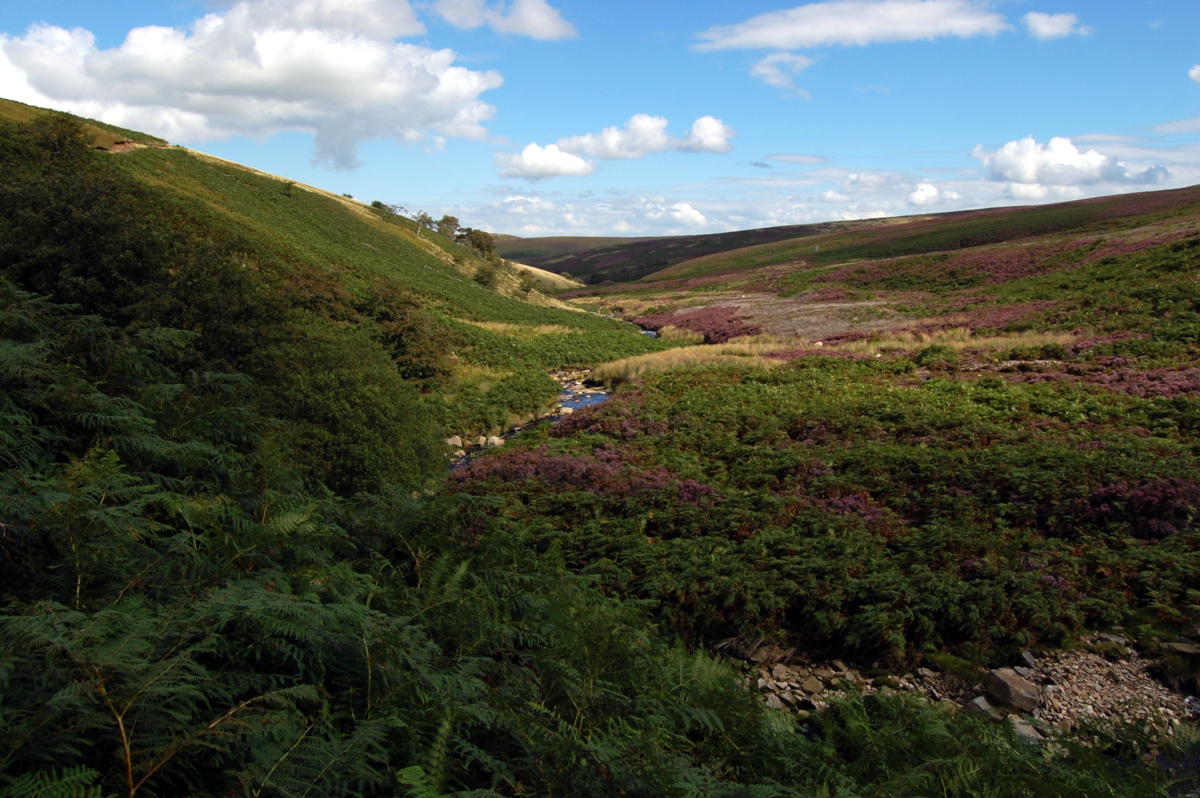
After lunch at Margery Stones, we head back down Cut Gate path for 2.4 miles before veering east over Midhope Moors down Sugden Clough towards Thickwoods. The route takes us around Langsett reservoir and over the dam wall to the Wagon and Horses for refreshments. After this, there is a short walk along Langsett Bank back to the car park.
Much of the walk is over open moorland on bracken and peat. Gaiters recommended if wet.
Although 11.5 miles, this route will take us on a walk with relatively moderate uphill effort. On a clear day, you will be rewarded with 360 degree views from our targets of Outer Edge and Margery Hill. Try to spot Drax power station, Emley Moor transmission mast, Howden reservoir, the Great Ridge of Mam Tor to Lose Hill, Kinder Scout and Bleaklow.
As the route is on Open Access Land, dogs are not allowed on this walk.
