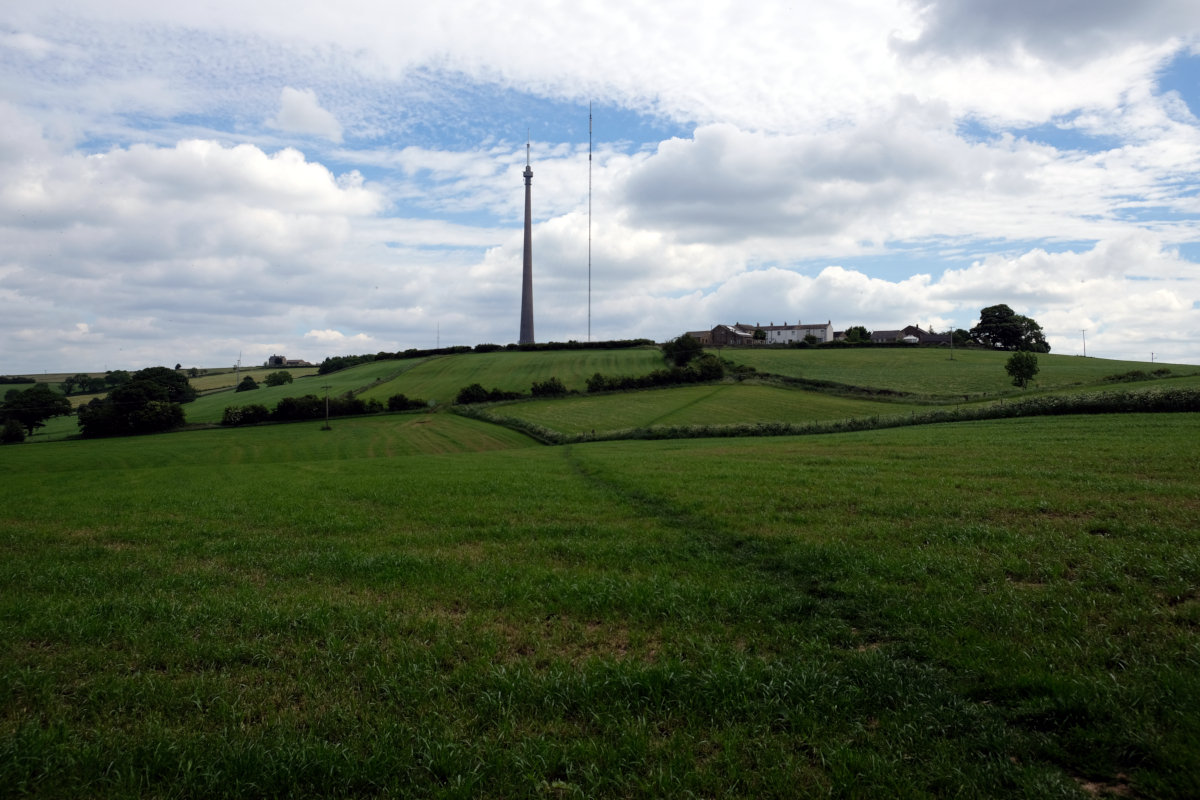
We leave Shelley village via the recreation ground to enter a wildflower meadow and continue along Box Ings Lane, a former coffin route, to reach Kirkburton Church. We then have a long steady ascent passing Gryce Hall to Roydhouse, the highest point of our walk, and a close-up view of the Emley Moor masts.
We descend through agricultural fields, sheep pastures and along a farm track to Quaker Gate, continuing beside Shelley College playing fields and the attractive old mill dam.
Following the Kirklees Light Railway to Shelley Station, we join the Kirklees Way and continue to Shepley Station. We descend along the bouncy rubber-crumb surfaced Stretchgate to cross the A629 and our final ascent back to the ‘Flying Ferret’.
This is a moderate walk of around 7.5 miles which will take approximately 3.5 hours plus lunch stop. It is an undulating walk through meadow and on woodland paths and bridleways, there are several stiles on this walk. We will go through the villages of Shelley, Kirkburton, Roydhouse and Shepley. There are extensive views throughout.
