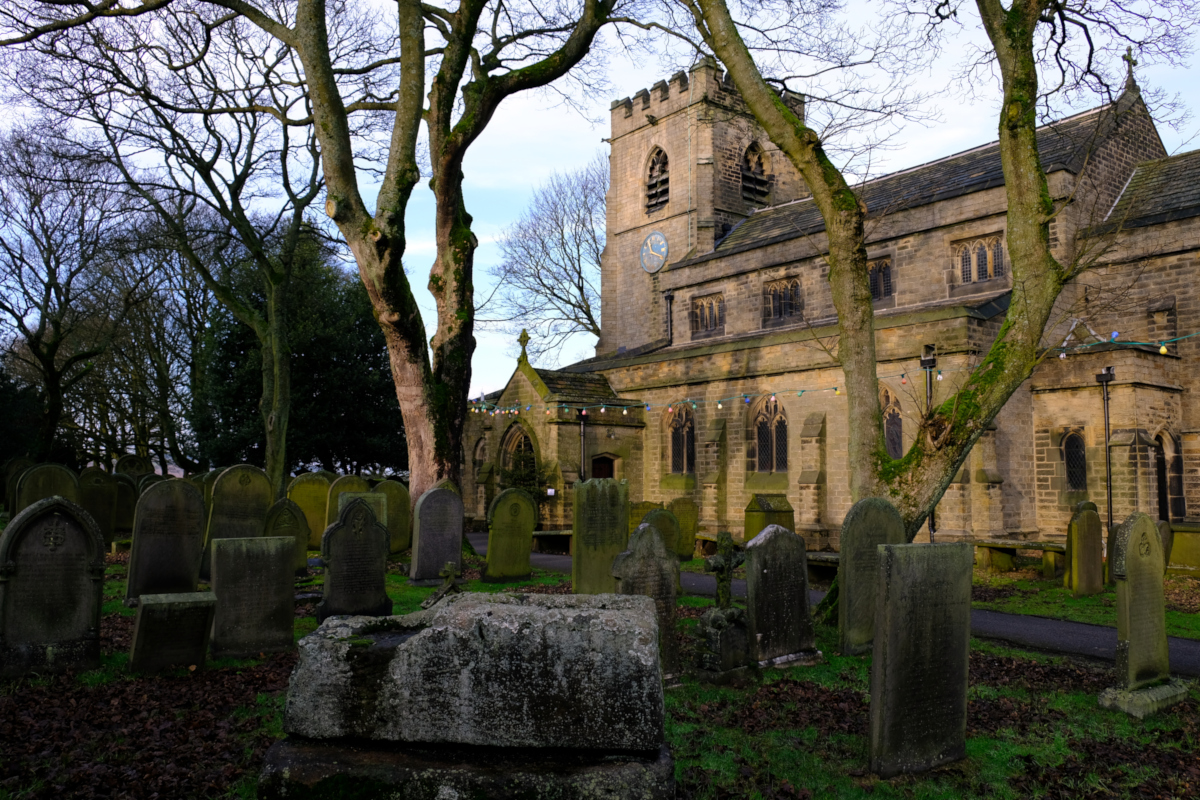
Church of Saint Mary, Bolsterstone, South Yorkshire
Date: Saturday, 2nd November 2024
Start time: 09:30
Grade: Moderate
Distance: 6.0 miles
Update: This walk will now start at 09:30 not as previously advertised 10:30.
Walk description
Starting from Bolsterstone we walk along the path above both Broomhead and More Hall Reservoirs following the skyline. We then descend following the path through the woods until we come to the Wantley Dragon. Depending on the weather we then either descend into a 16th century wood (if it too wet we will walk into Firth Woods instead). We then ascend and walk towards Parsonage Farm following the path towards Townend Road / Royd Lane. We then walk over the golf course to the Saxon Burial Site and then back on the path to Bolsterstone.
Meeting point and parking
Meeting point: The Castle Inn, Heads Lane, Bolsterstone, South Yorkshire.
Parking: On-road parking near The Castle Inn or adjacent to the public toilets on Stone Moor Road, around the corner from The Castle Inn.
GPS Coordinates: 53.4676132, -1.5930176
Grid Reference: SK 27091 96851
What3Words: speeding.apples.menswear
Nearest Postcode: S36 3ZB
Joining Us
If you wish to attend your first walk with Sheffield Walkers walking group please contact us a minimum 48 hours before the start of your chosen walk and we will add you to our list of walkers, notify the Walk Leader to expect you, and provide you with details of the meeting point and start time.
Please note: New walkers can join any easy or moderate walk for their first walk with us, but not a strenuous walk. Once they have walked with us all walks are open for them to join. For further information regarding membership please click here.